Industries
Astro Geo Service has a wealth of Knowledge across a diverse range of industries. We have decades of experience in the areas of Resources Transportation, Mining, Utilities and Communication, Forestry, Land Management and Administration & Oil & Gas. For each of these areas we have dedicated team members with advanced industry knowledge and specialist skills.
We welcome enquiries from all industries and markets. Our services enable you to capture as built details to individual pieces of project area. AstroGeo has the expertise, tools, and the experience to meet your requirements.

Transportation
Mobile LiDAR has become an effective solution for rapid data collection in the transportation vertical, in recent years. Mobile LiDAR is becoming a boon for transportation agencies looking to increase safety and efficiency.
Astro Geo Service provides Geospatial solutions to plan, monitor, and manage strategic infrastructure more effectively. We offer a framework to collect and analyse the information needed to strengthen transportation infrastructure. Transportation mainly includes:
- Roads and Highways
- Railways
- Airports
- Ports

Mining
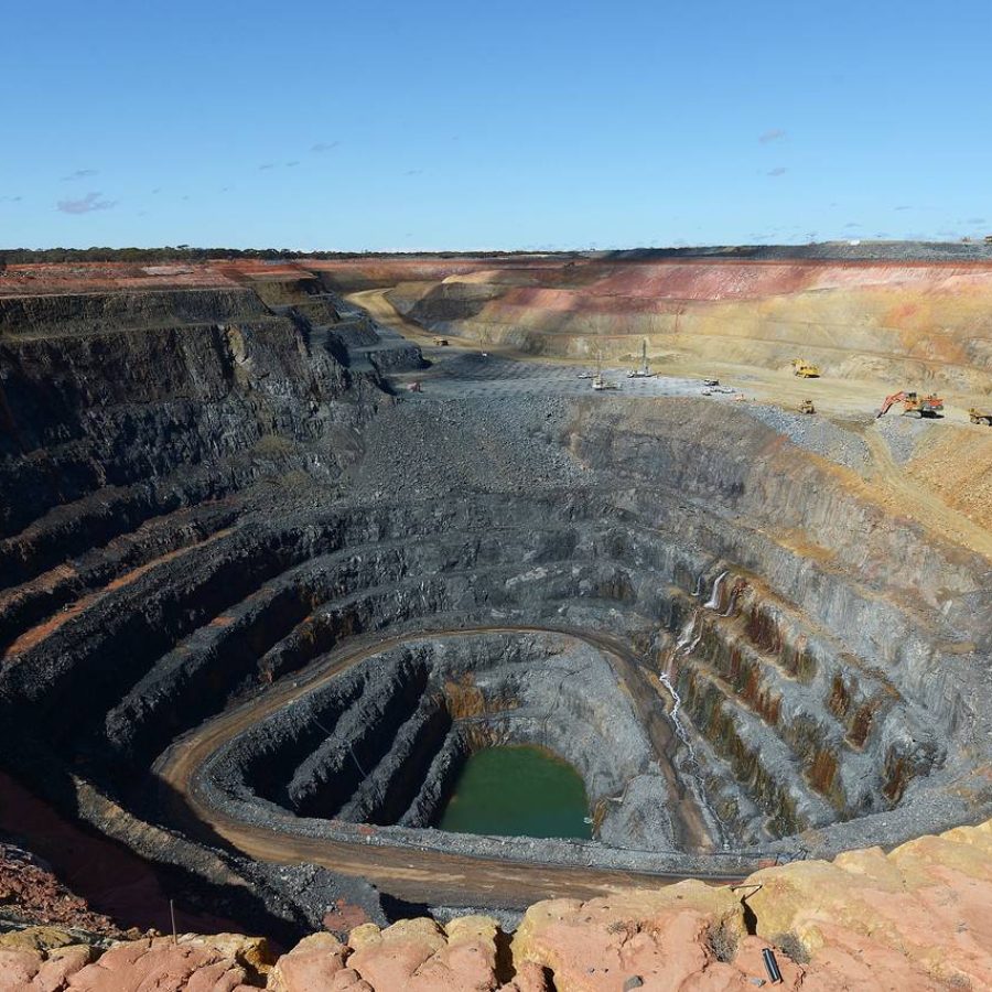
Astro Geo Service leads the Geospatial service to the mining industry which includes estimation of mineral exploration, construction, operation, transportation, pre and post-mining activities environment impact assessment, environmental rehabilitation, calculation of pit and stockpile volumes, Mine expansion planning, High-accuracy DTM for enhanced geophysical analysis, Mine design and planning, and landscape restoration.
The deliverables for the mining industries include:
- Topographic Maps
- Volumetric Calculation & Analysis
- 3D Model Of Mining Area
- Land-Use / Land Cover Map

Utilities & Communication
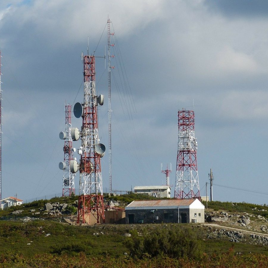
Astro Geo Service helps electric utilities with the data and insights for designing, drafting, and planning electricity supply lines within a township or from a power station. To provide the right spatial data and information services for utility success our geospatial mapping services will be tailored to satisfy the business needs and disruptions through accurate processing of data, improving infrastructure, using cutting-edge service solutions and 100% versatile, highly skilled and cross-trained staff.
We develop models of overhead lines, structures, terrain and vegetation features by utilizing the latest LiDAR data acquisition technologies.
3D transmission line mapping offers rich insights to power utilities on wire stringing, vegetation encroachment and sag profiling.
We help to develop highly accurate, 3D surveys of terrain, vegetation and electric utility infrastructure.
- Transmission Line Mapping
- Distribution Line Mapping
- Substation Mapping and Modelling
- Power line Design and Analysis

Forestry
Evaluating forest conditions and developing strategies for forest management is a challenging task. Many governments, state, and private forestry organizations and agencies today utilize Geospatial technology such as GIS and LiDAR for various applications supporting analysis, assessment, and management of our forests.
GIS technology offers details, which are helpful for forest vegetation, such as areas suitable for Forest resource assessment and monitoring, Forest harvesting, Forest rehabilitation, Forest conservation, and Wildlife habitat conservation and planning.
- Digital Elevation Models.
- Tree heights and digital surface models.
- Volume — Canopy geometric volume.
- Foliage projected cover—Crown dimensions and Crown canopy profile.

Oil & Gas
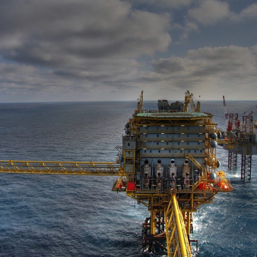
Our spatial modelling can help you find the best places to build a new facility, map current facilities, and manage network assets.
Using a variety of 3D laser scanning tools, the existing, as-built conditions of a facility can also be captured as millions of data points, which can then be imported into 3D modelling software for creating a realistic, to-scale image of the facility. That model can then be tweaked as part of a Brownfield design or compared to and contrasted with a new design, utilizing “clash detection” to determine any weaknesses or errors in either of them.
An additional advantage of 3D laser scanning an existing facility is the ability to provide physical data for asset management activities. This may include quantity surveys, asset documentation, condition monitoring, tank calibration, maintenance support, and intelligent plant modelling.
Stockpiles of crude oil at a refinery can be scanned to give quicker, more accurate quantity estimates. If a refinery changes hands, 3D documentation of the facility’s components provides a more accurate asset count. Using 3D laser scanning for generating volumetric scans of tanks or maintenance.

Land Management
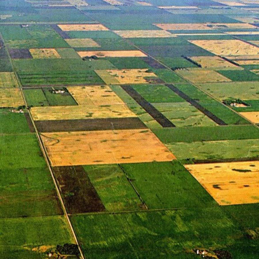
GIS application in land use and agriculture has been playing an increasingly important role in crop production throughout the world by helping farmers in increasing production, reducing costs, and manage their land resources more efficiently.
Astro Geo Service is a leading player in GIS for efficient land management with many successful projects for leading government and private bodies. We assist our clients with accurate spatial data and analysis for land management, Administration obtained through various techniques. We provide Spatial data modelling for Land Management and Administration in the form of digital twin mapping services to create 3D digital replicas of cities.
- Topographic Mapping
- Corridor Mapping
- Planimetric Mapping
- LiDAR Point Cloud Processing
- DTM and DSM Classification
- UAV Data Processing
- 3D city Model
